
 mail@mksurveys.co.uk
 01908 565561
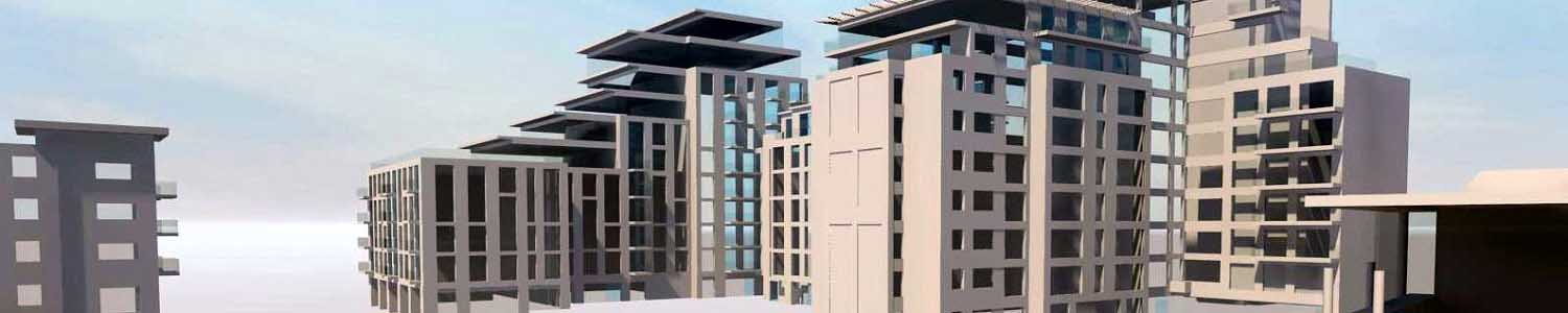
MK Surveys have expert knowledge of providing Construction Verification Surveys - recording the constructed to compare with the design.
This record of the as-built accuracy can be vital in reducing risk and save costly mistakes which can not be rectified once the building is completed. Deliverables range from the registered pointcloud to a complete 3D model.
Using 3D Laser Scanning we can undertake rapid collection of site data, up to a million points per second, billions of points per day. No omissions of objects or features to be recorded thus eliminating the need for return visits to site. Overall a fully comprehensive method of measurement, contributing to reduced time on site and a complete record of the structure.
Collection of site data is recorded to an accuracy of +/- 3mm, giving an accurately dimensioned record in time that can be revisited at any stage in the future. The pointcloud can be viewed and manipulated from all angles, giving the operative a visually impressive digital twin of the subject.
Deliverables include;
 Registered laser scan data in a variety of formats to suit the consultants software
Colourised Pointclouds with imagery taken using Spheron-VR HDR Camera system
2D & 3D CAD plans
3D Revit models for BIM
3D Mesh & Surface files
Leica TruView files
Visualisations such as Fly-throughs
Orthophoto’s derived from either greyscale or colourised scan data


 mail@mksurveys.co.uk