
 mail@mksurveys.co.uk
 01908 565561
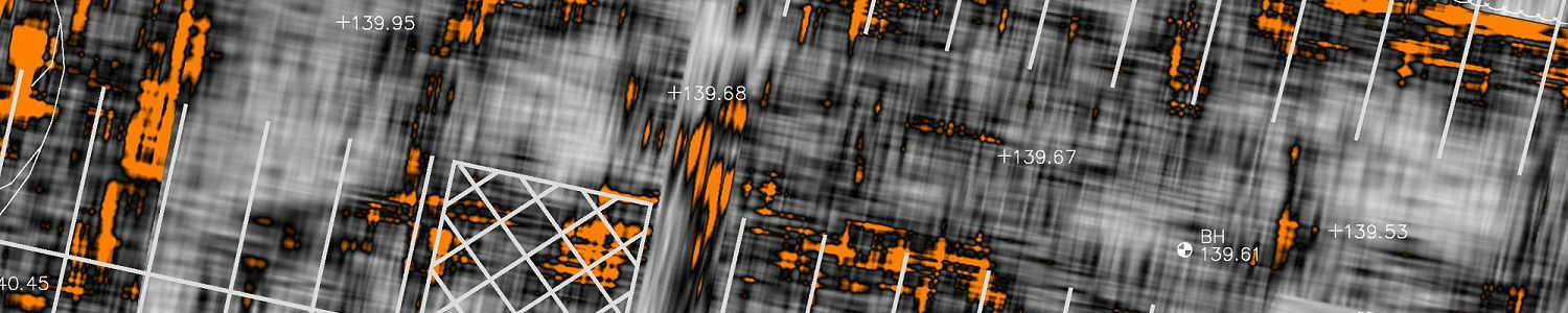
MK Surveys Underground Utility Tracing and Mapping division was established in 2002 and offers a wide range of services aimed at the detection, verification and location of underground utilities. All of our surveys are carried out in accordance with “PAS 128:2022 Specification for underground utility detection, verification and location” published by BSI in 2014 and revised in 2022.
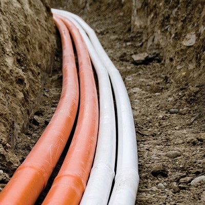
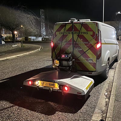
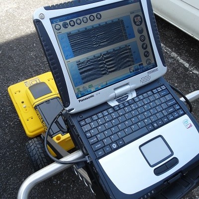
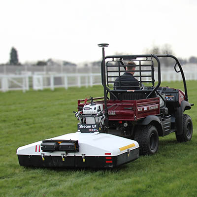
We use two geophysical location techniques to detect utilities, which are electromagnetic location and ground penetrating radar.
We also offer a variety of additional services including;
 Borehole Clearance Surveys
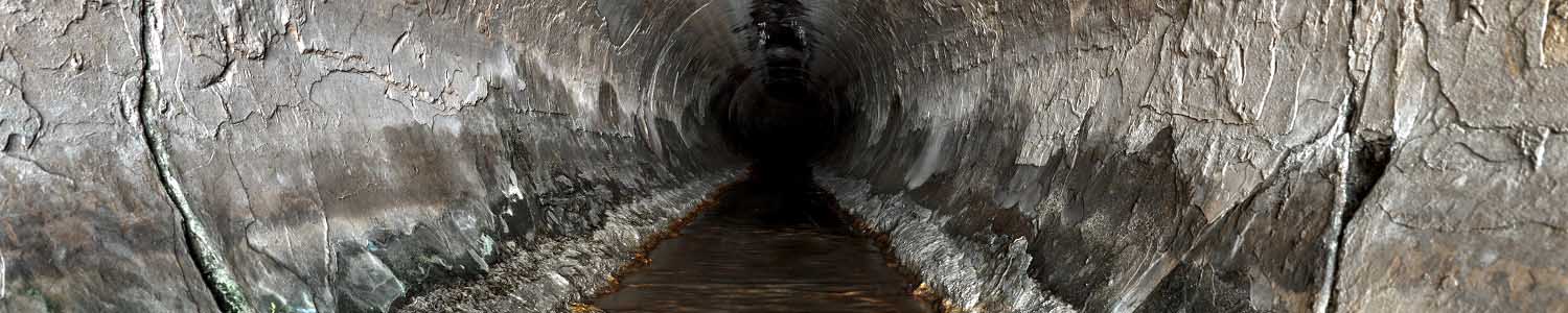
CCTV surveys
Confined Space Entry.
Desktop Utility Record Searches (Survey type D)
Drainage Connectivity Surveys
High Pressure Jetting and Descaling
Radio Sonde Location
PAS128 Survey Types:
Desktop utility records search (survey type D)
This survey type would be in the form of a report identifying all known utility owners and their assets within an area including a list of affected and non-affected providers, along with any plans, maps, and diagrams provided. The deliverable would be in the form of a pdf document containing all information.
Site reconnaissance (survey type C)
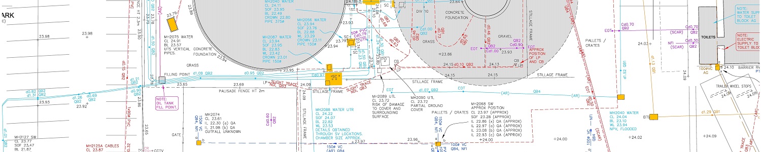
This survey is accompanied by a desktop utility report (survey type D). It will involve a site reconnaissance visit to identify features that may indicate the presence of a service such as; manholes, valves, utility markers, street furniture and historic excavation scars. The deliverable will be in the form of a records overlay onto an existing topographical survey or OS base plan.
Detection (survey type B)
This survey is accompanied by a desktop utility report (survey type D). The detection survey is a non-penetrative survey conducted using at least 2 geophysical survey techniques. A consultation with the client during the quotation phase will identify the methodology used to conduct the survey. The final deliverable will be in the form of an AutoCAD file with a quality/confidence level assigned to all located services, and accompanied by a written report and photographic record.
Verification (survey type A)
This type of survey can complement a detection survey (survey type B). By visual inspection we can obtain further information to improve the confidence level and obtain additional information about a particular service. Visual inspection of a service can be via access points such as manhole / inspection chamber or by its excavation and exposure. For further details about confined space entry or utility excavation please contact us to discuss further.


 mail@mksurveys.co.uk