
 mail@mksurveys.co.uk
 01908 565561
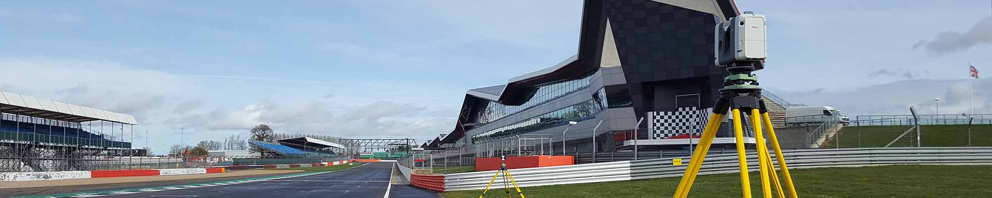
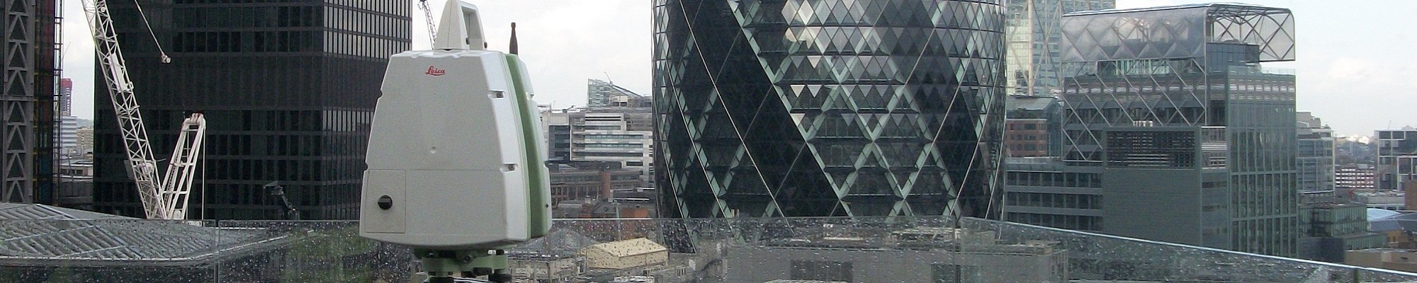
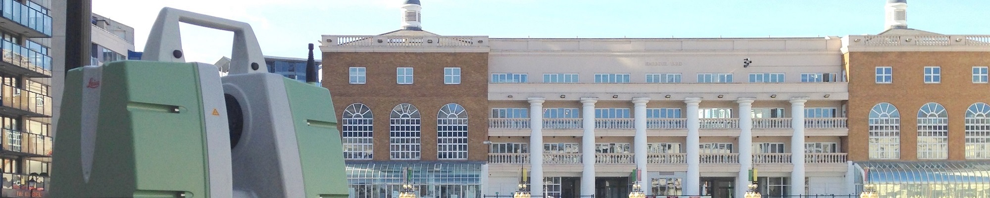
MK Surveys are one of the earliest adopters of 3D Laser Scanning technology in the UK and our continued investment in Leica HDS Laser Scanners has ensured our survey teams can deliver comprehensive data with speed and accuracy whilst working safely throughout the UK and abroad.
What are the advantages?
Speed: Rapid collection of site data, up to a million points per second, billions of points per day. No omissions of objects or features to be recorded thus eliminating the need for return visits to site. Overall a fully comprehensive method of measurement, contributing to reduced time on site.
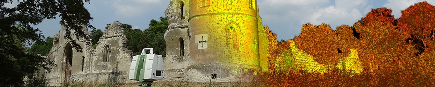
Accuracy: Collection of site data is recorded to an accuracy of +/- 3mm, giving an accurately dimensioned record in time that can be revisited at any stage in the future. The pointcloud can be viewed and manipulated from all angles, giving the operative a visually impressive virtual clone of the subject.
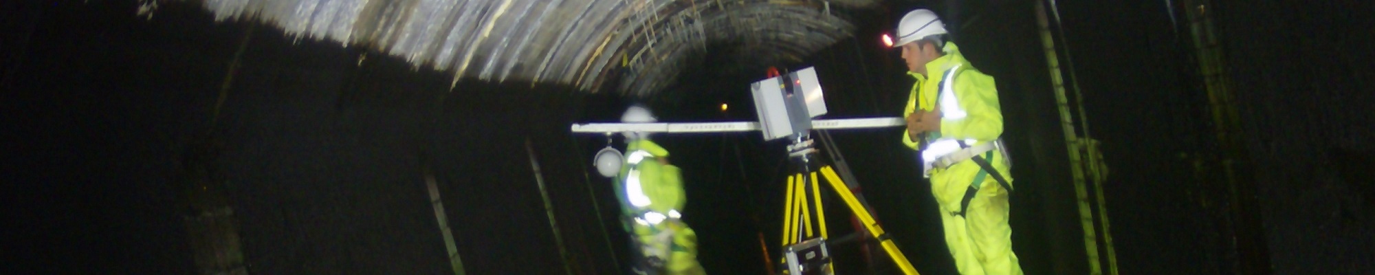
Safety: Using laser technology, survey data can be recorded remotely and unobtrusively. This also eliminates many of the common health and safety risks – e.g. working at height, in dangerous environments etc.
Our experienced survey teams have been deployed in a variety of locations across the UK and overseas, collecting laser scan data of many weird and wonderful subjects including the following;
Buildings – privately owned properties, stately homes, castles, theatres, town halls, embassies, listed buildings, historic monuments, schools, offices, factories, derelict and damaged structures.
Transport – highways, railways, bridges, tunnels and ship yards.
Utilities – sewers, culverts, inspection chambers, service tunnels and deep shafts.
Deliverables;
 Registered laser scan data in a variety of formats to suit the consultants software
Colourised Pointclouds with imagery taken using Spheron-VR HDR Camera system
2D & 3D CAD plans
3D Revit models for BIM
3D Mesh & Surface files
Leica TruView files
Visualisations such as Fly-throughs
Orthophoto’s derived from either greyscale or colourised scan data


 mail@mksurveys.co.uk