
 mail@mksurveys.co.uk
 01908 565561
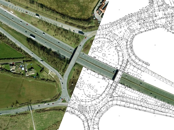
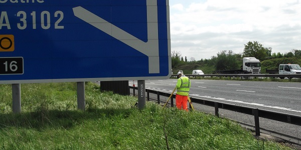
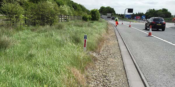
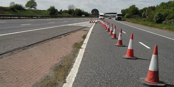
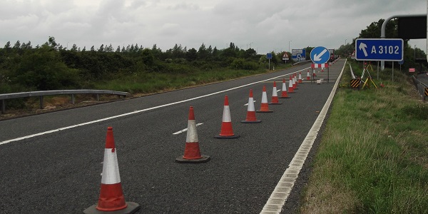
MK Surveys have just completed a particularly challenging topographical survey of the M4 Junction 16 southwest of Swindon.
Probably one of the most difficult sites to survey due to the volume of traffic and limited safe areas, a variety of survey methodologies had to be employed with most of the carriageway data being recorded via remote laser measurement or from within short traffic management zones. All arranged and agreed with the three managing authorities prior to commencement.
Plans for improvements to this junction extend as far back as 1999 and are needed in order to reduce queuing back onto the main carriageway during peak hours and also as an essential part of the core strategies for both Swindon BC and Wiltshire CC, that should lead to the unlocking of major development areas.


 mail@mksurveys.co.uk