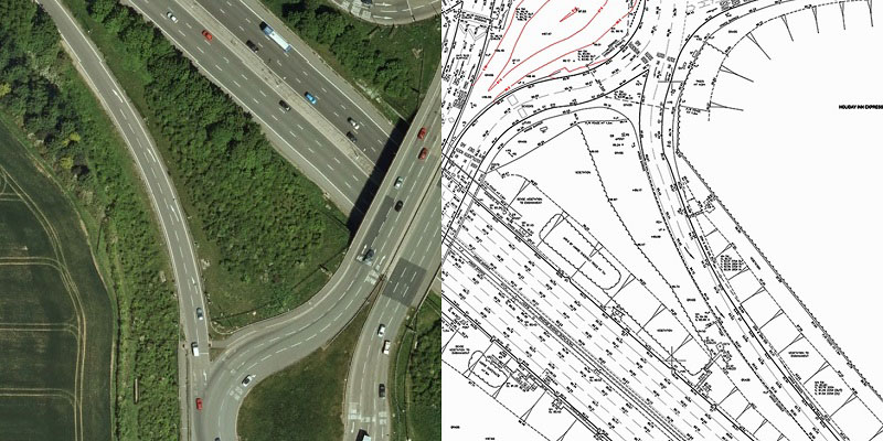
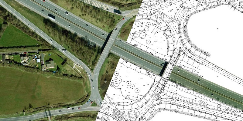
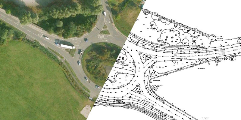
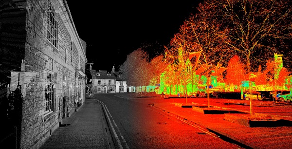
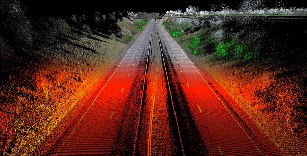
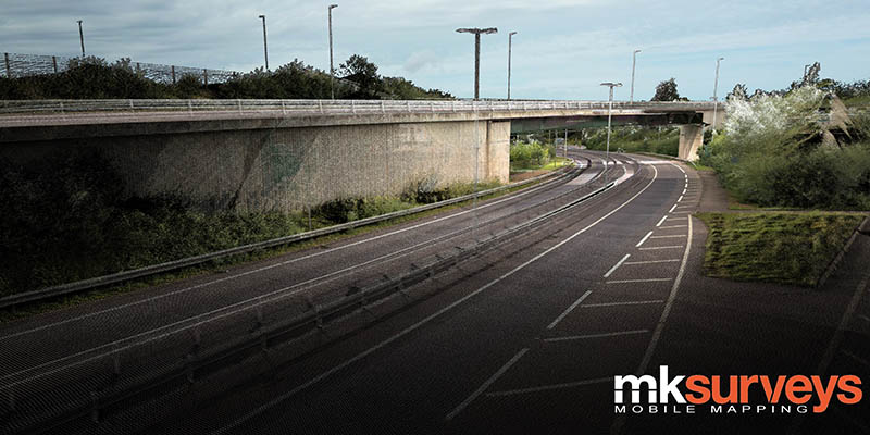
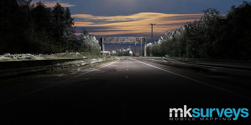
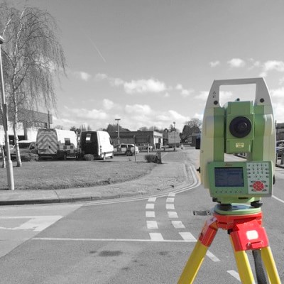
A highway survey can be used to provide an accurate layout of the road, utilities, drainage, overhead wires, nearby buildings, and other features.
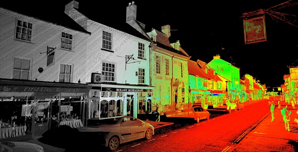
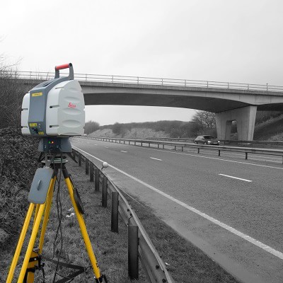
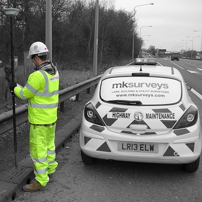
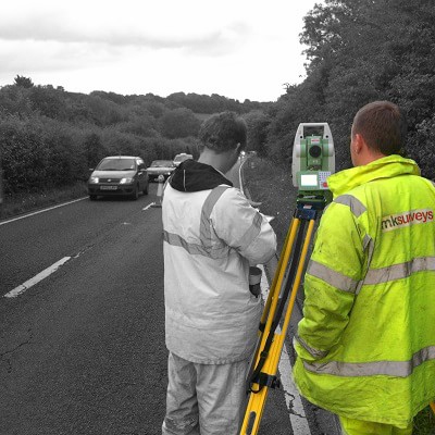
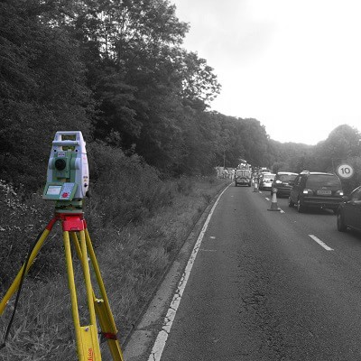
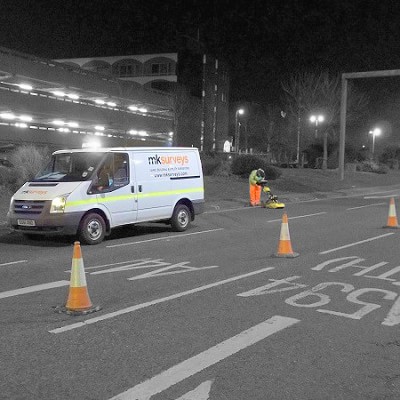
With multiple teams trained to Streetworks Unit 2 & 10 - Signing, Lighting & Guarding in accordance with Chapter 8 of the Traffic Signs Manual, and utilising the latest Reflectorless and Robotic Total Stations, Mobile Mapping, Leica GNSS equipment and survey software. We are able to perform a survey of a carriageway or public highway with the minimum disruption to the flow of traffic, whilst still delivering highly accurate data that can be issued as the following
 2D & 3D CAD
 Microstation
 MX Genio
 3D Registered Point Cloud
Our Highways surveyors also produce As-Built Surveys for Highway and Sewer Adoption, (Section 38, 102, 104, 106, 185, 278, etc) to the standard detailed in the latest revision of Sewers for Adoption. This includes providing drawings to the required standard and colouring schedule for the adopting authority.

 mail@mksurveys.co.uk



 mail@mksurveys.co.uk