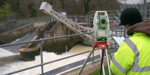
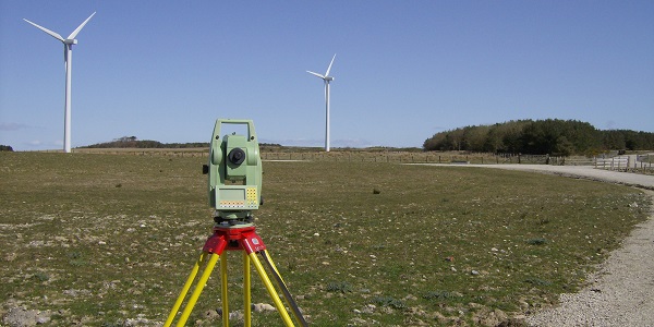
MK Surveys have carried out detailed topographical surveys of prospective Hydro-electric sites all over the UK.
Recent sites include a disused mine in Cornwall, Large river weirs in Yorkshire and Dam sluice systems in the Lake District.
All site surveys are set to Ordnance Survey level and grid, using the latest Leica GPS to achieve extremely accurate position fixes.
A recent project required one of our most experienced survey teams to travel to Cumbria to carry out a detailed 3D survey of a reservoir dam in the Lake District. The survey included the three dimensional modelling of 400m of water channel, including sluice gates, overspill channels, weirs, pools and emerging pipe culverts. This extremely complex site was surveyed in full, in just one day, with the fully modelled survey being supplied to the client on time and exceeding their expected level of detail.
These often difficult and challenging sites highlight the flexibility and range of services that MK Surveys provide, proving yet again that we are able to measure and model practically anything, be it above or below ground, and even under water!


 mail@mksurveys.co.uk

 mail@mksurveys.co.uk