Precise and reliable land surveys to ensure accurate data for informed decision making on every project.
Land surveys (otherwise known as topographical surveys) are an essential foundation for successful planning, development, and management of land-based projects. Whether you’re preparing a site for construction or monitoring and maintaining existing infrastructure. Accurate and comprehensive land surveys provide the data needed to inform every stage of your project. From mapping complex terrain to capturing precise geospatial data, land surveys help unlock the full potential of your site while mitigating risks and avoiding costly errors.
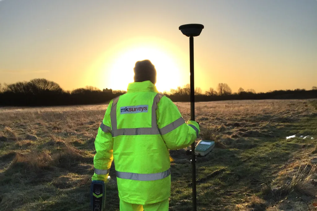
MK Surveys specialise in delivering tailored solutions across a wide range of industries. Our expertise spans cutting-edge Aerial Surveys for hard-to-reach areas, detailed Topographical Surveys that maps every feature within a parcel of land, to Railway Surveys to the highest level of detail. Our experienced teams use the latest technology to provide high-quality results, helping you make informed decisions.
If you are unsure which service you need, contact our experts today. We would be more than happy to help you choose a service which best suits your requirements.
Land Surveying Services
-

Adoption As-Built Surveys
A comprehensive record of your site, detailing all critical aspects to ensure compliance and facilitate the adoption by local authorities.
-
Aerial Surveys
CAA certified pilots use the latest technology to safely and professionally record high resolution visuals and accurate measurement data.
-
Highway Surveys
Ensures every detail of a transport infrastructure is accurately captured and mapped safely, with minimum disruption to the flow of traffic.
-
Hydrographic Surveys
Map and analyse water bodies such as rivers, lakes, and coastal areas. Our surveys provide detailed information about underwater terrain.
-
Mobile Mapping & GIS
Rapid and accurate collection of geospatial data using mobile platforms. This includes vehicles equipped with cameras, LiDAR sensors, and GPS.
-
Railway Surveys
Surveys to support the planning, design, construction, and maintenance of rail infrastructure to ensure a safe network.
-
Site Engineering Services
Site Engineering Services to support construction and development projects ensuring your project progresses as smoothly as intended.
-
Topographical Surveys
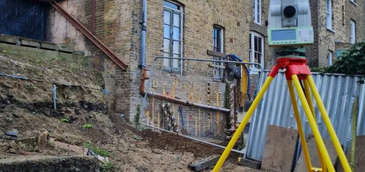
Mapping the terrain and features of many parcels of land from small dwellings to multi-acre sites across the UK and abroad.







Leading Survey Services
Which service is right for you?
Our friendly expert team are happy to discuss your project and recommend the best solution.