
Mapping the terrain and features of many parcels of land from small dwellings to multi-acre sites across the UK and abroad.
Service Category Archives
Site Engineering Services
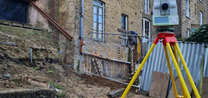
Site Engineering Services to support construction and development projects ensuring your project progresses as smoothly as intended.
Railway Surveys

Surveys to support the planning, design, construction, and maintenance of rail infrastructure to ensure a safe network.
Mobile Mapping & GIS

Rapid and accurate collection of geospatial data using mobile platforms. This includes vehicles equipped with cameras, LiDAR sensors, and GPS.
Hydrographic Surveys

Map and analyse water bodies such as rivers, lakes, and coastal areas. Our surveys provide detailed information about underwater terrain.
Highway Surveys

Ensures every detail of a transport infrastructure is accurately captured and mapped safely, with minimum disruption to the flow of traffic.
Aerial Surveys

CAA certified pilots use the latest technology to safely and professionally record high resolution visuals and accurate measurement data.
Adoption As-Built Surveys
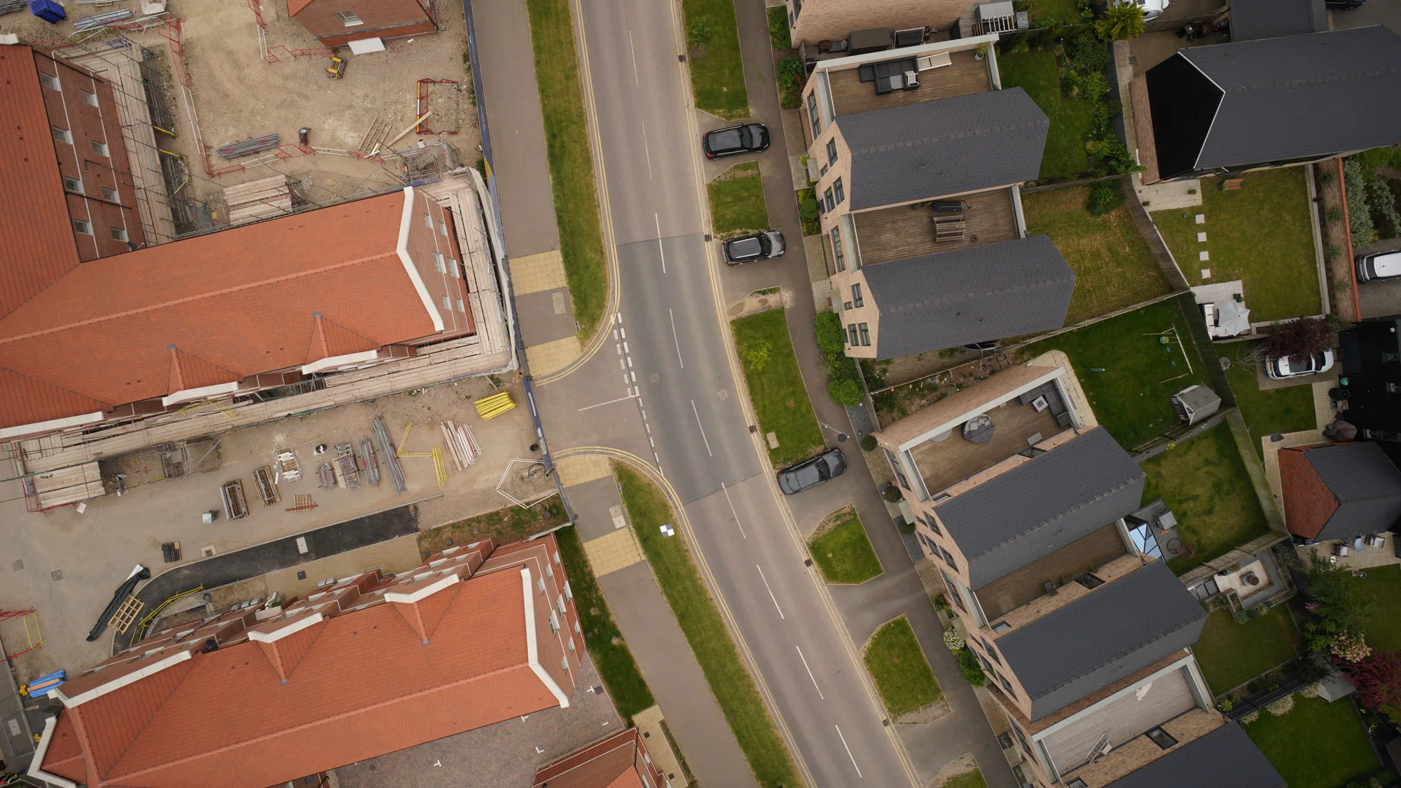
A comprehensive record of your site, detailing all critical aspects to ensure compliance and facilitate the adoption by local authorities.