
 mail@mksurveys.co.uk
 01908 565561
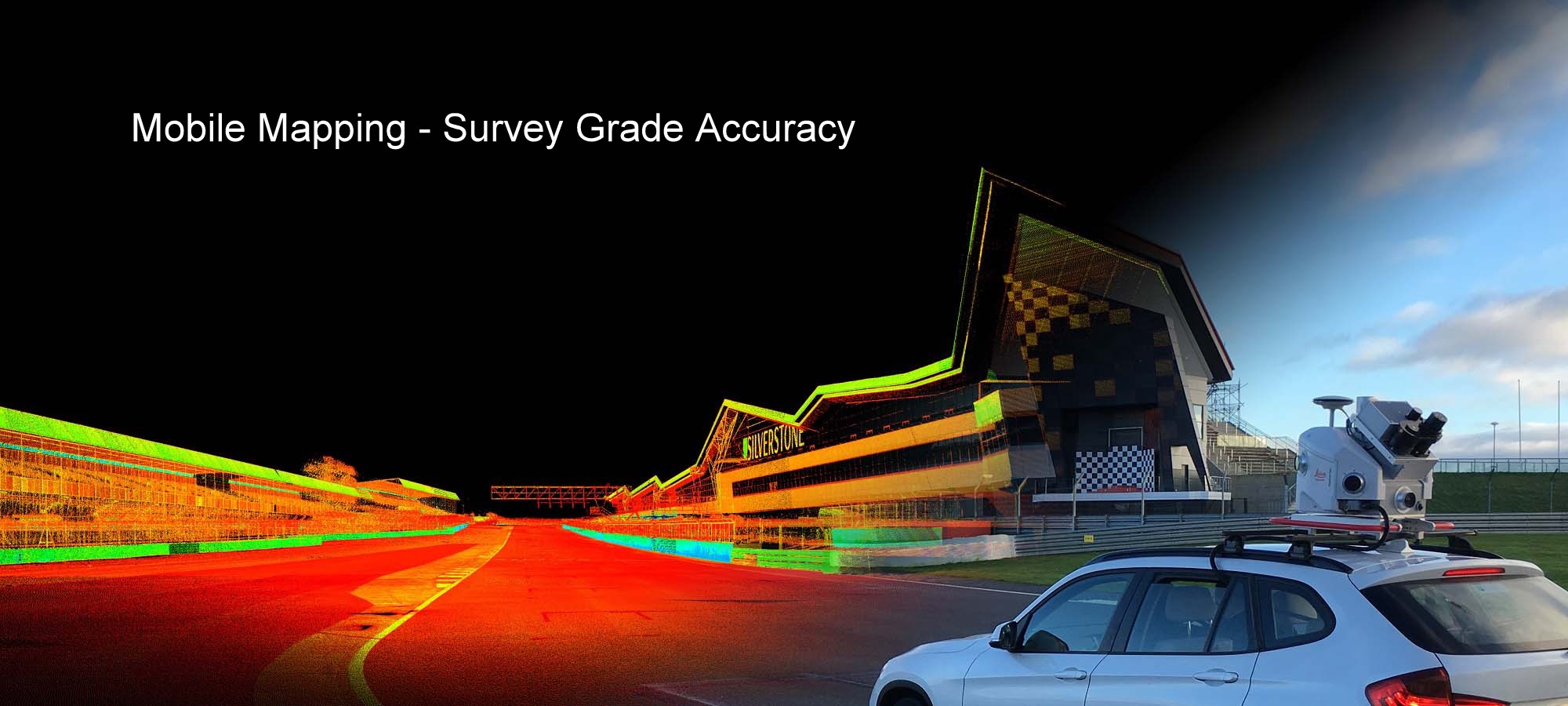
Concrete and wall scanning for avoidance of hidden objects
Rebar / void location to improve safety before cutting or drilling into the concrete
Results can be produced in both 2D and 3D depending on the clients requirements.
On-Site mark out.
Providing information for coring, drilling, as-built verification and load bearing capacity.
Detection and location of;
 Rebar
Rebar
Voids
Post-tension cables
Cavities
Conduits
Determine wall thickness (upto 800mm)
Embedded Metals
Chimney Flues
All other buried objects


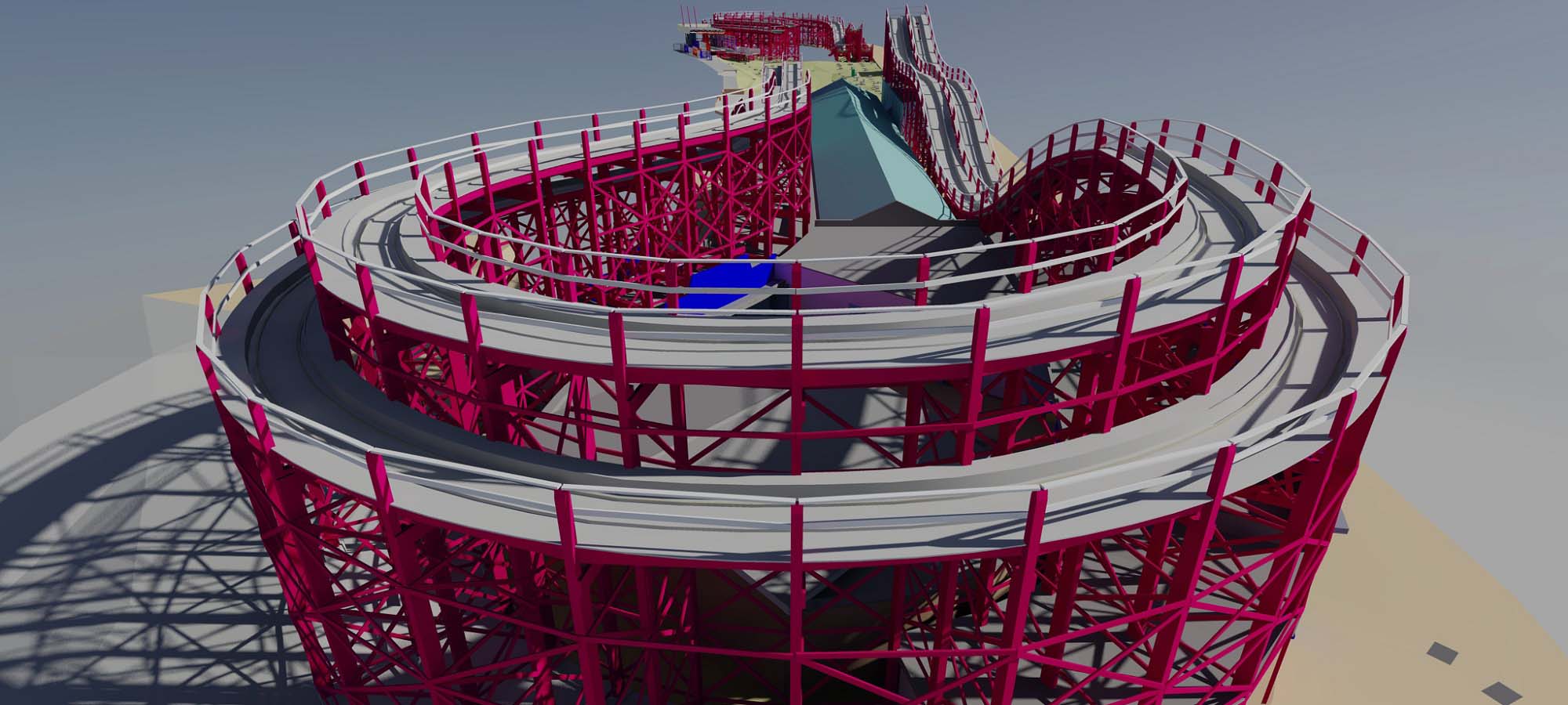
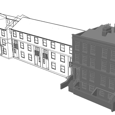
MK Surveys have expert knowledge of providing Construction Verification Surveys - recording the constructed to compare with the design.
This record of the as-built accuracy can be vital in reducing risk and save costly mistakes which can not be rectified once the building is completed. Deliverables range from the registered pointcloud to a complete 3D model.
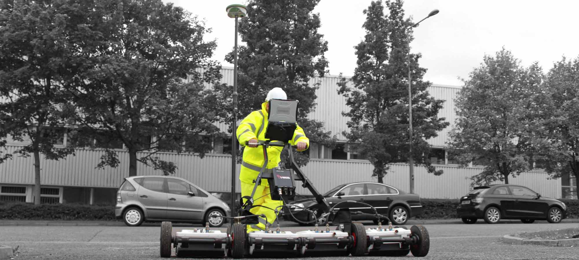
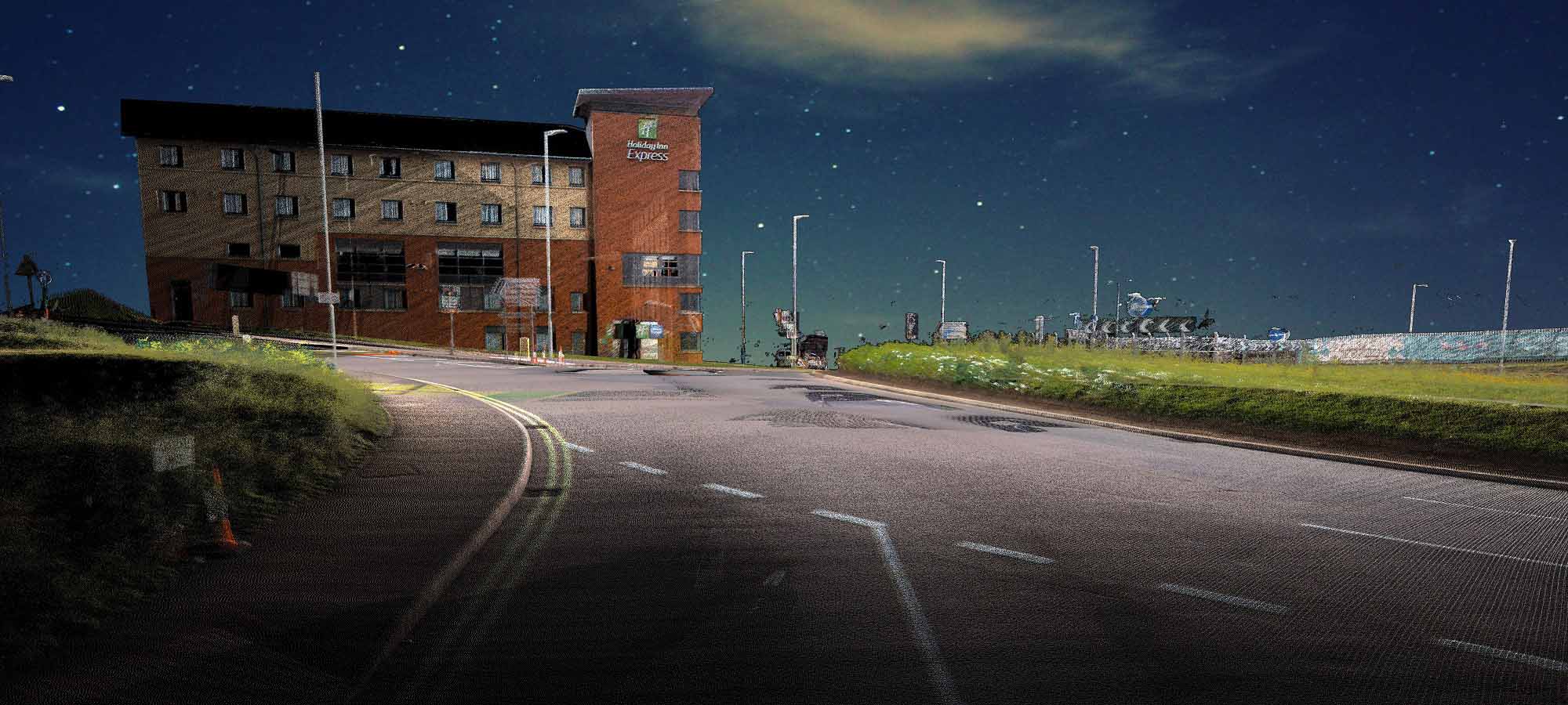
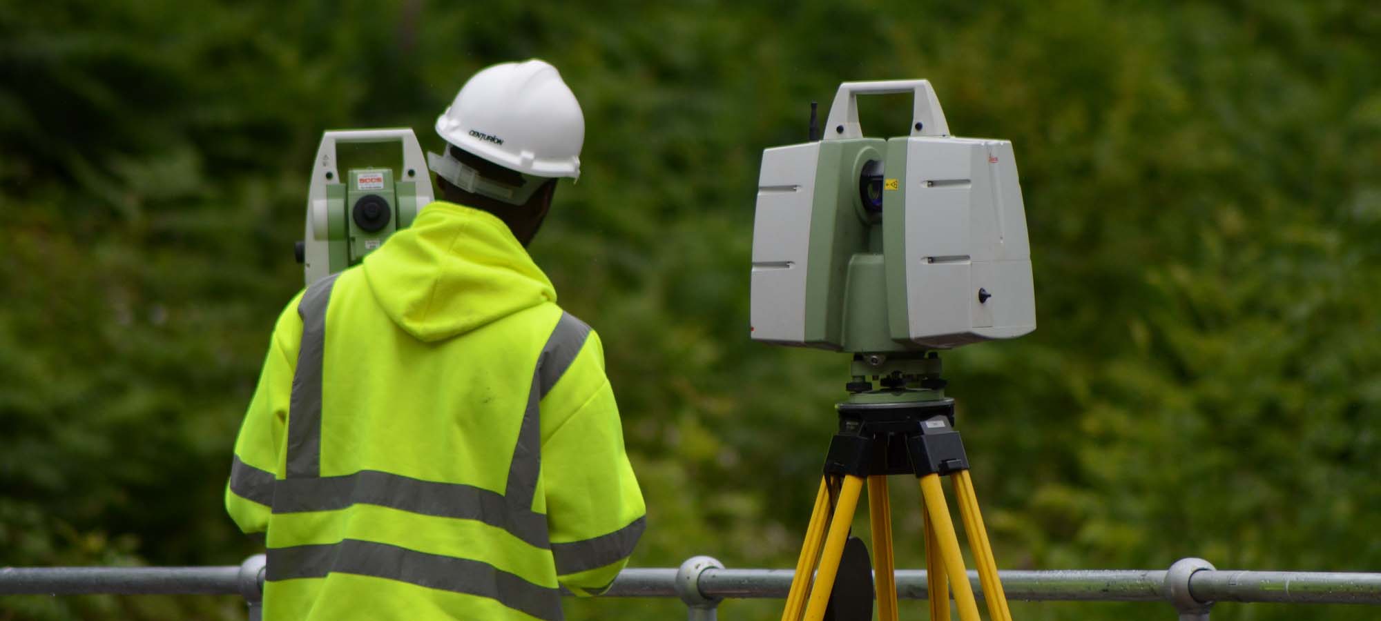
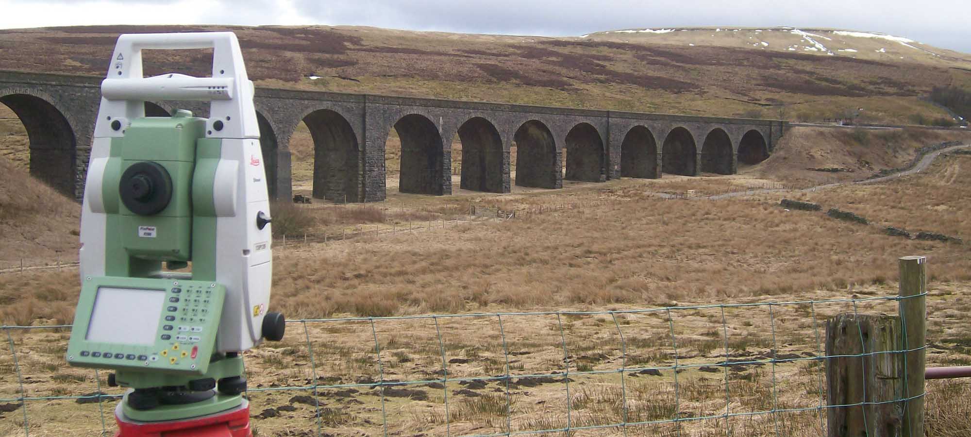
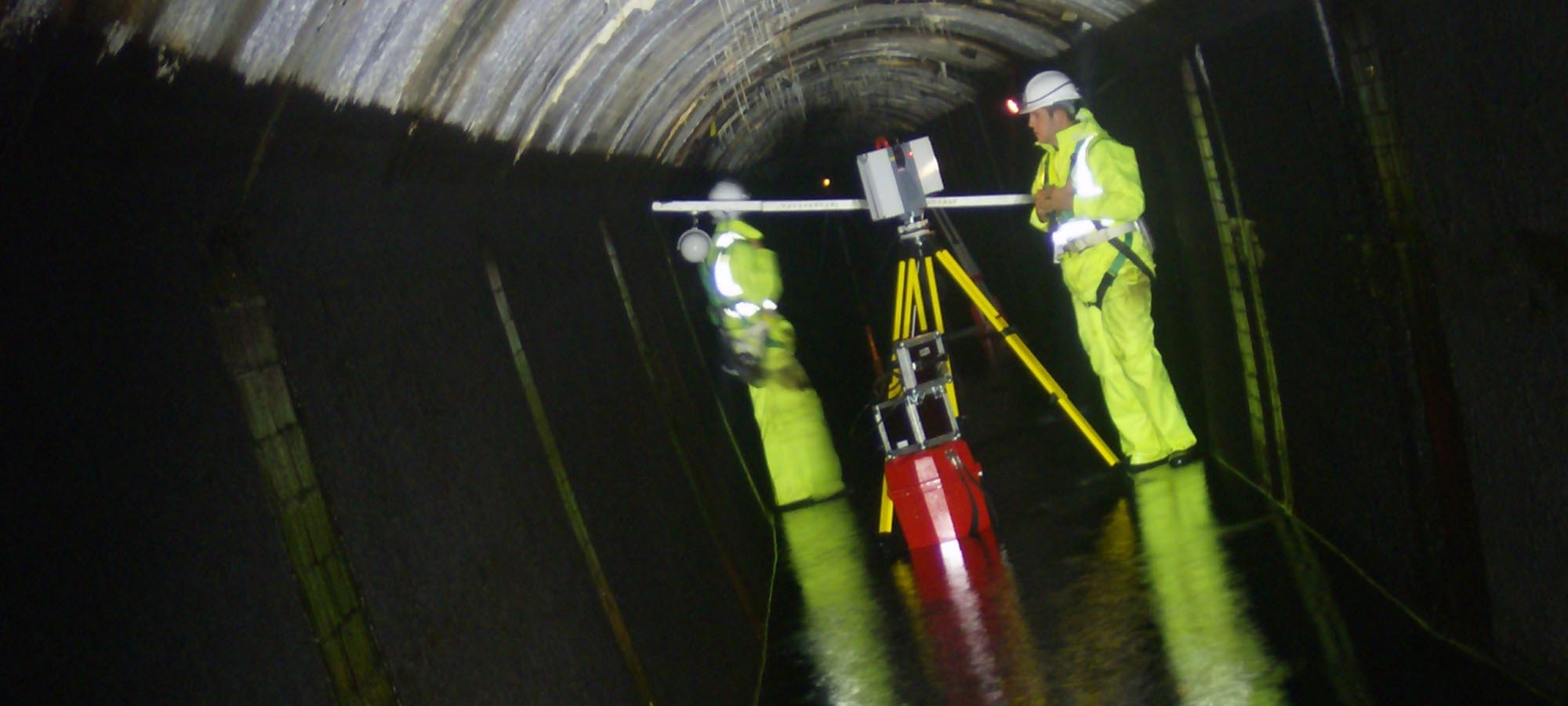
Using 3D Laser Scanning we can undertake rapid collection of site data, up to a million points per second, billions of points per day. No omissions of objects or features to be recorded thus eliminating the need for return visits to site. Overall a fully comprehensive method of measurement, contributing to reduced time on site and a complete record of the structure.
Collection of site data is recorded to an accuracy of +/- 3mm, giving an accurately dimensioned record in time that can be revisited at any stage in the future. The pointcloud can be viewed and manipulated from all angles, giving the operative a visually impressive digital twin of the subject.
Deliverables include;
Registered laser scan data in a variety of formats to suit the consultants software
Colourised Pointclouds with imagery taken using Spheron-VR HDR Camera system
2D & 3D CAD plans
3D Revit models for BIM
3D Mesh & Surface files
Leica TruView files
Visualisations such as Fly-throughs
Orthophoto’s derived from either greyscale or colourised scan data


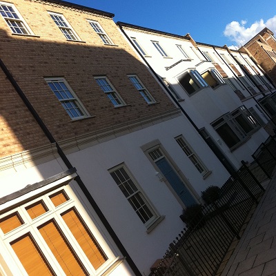
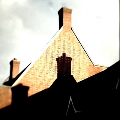
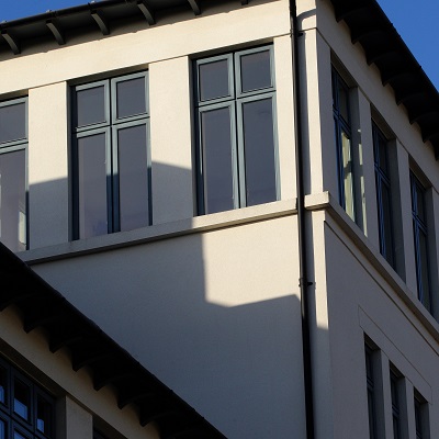
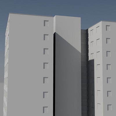
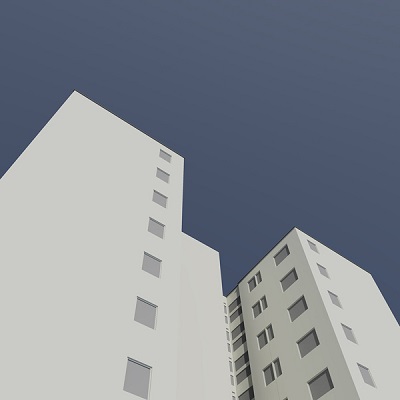
MK Surveys have been providing measured survey services to ‘Rights of Light’ and Daylight/ Sunlight specialists, developers and architects for many years. Generally, these are in the form of 2D surveys and 3D CAD models that support an individual project requirement.
We can provide surveys that cover all your design requirements or a survey that specifically concentrates on the rights of light aspect of the proposal. This would often include the provision of a simple site survey with existing building massing referenced to National Grid datum’s, along with skeletal elevations of the surrounding properties that include building mass and all structural openings from which the rights of light analysis can be made; allowing the client to carefully plan and design their new development ensuring a neighbour’s rights of light is not infringed upon whilst maximising full potential of the proposed development.
Our continued investment in laser scanning, remote laser measuring and photogrammetric methods also means that we can often obtain the surrounding data quickly and without the need for intrusive data collection, meaning that surveys can be produced both efficiently and cost effectively.
Data can be provided as 2D drawings or as 3D CAD models (wire frame or fully rendered) in formats that can be imported directly into rights of light analysis packages.
Measuring and generating complex 3D models and inspiring visualisations.
Rapid on-site measurement techniques and innovative modelling methods mean MK Surveys can deliver accurate as-built models of any structure whatever shape or size. With our in house expertise we offer pre-project consultations and advice with regards to project restrictions and capabilities as well as achievable modelling tolerances whilst always assuming a time and cost conscious approach.
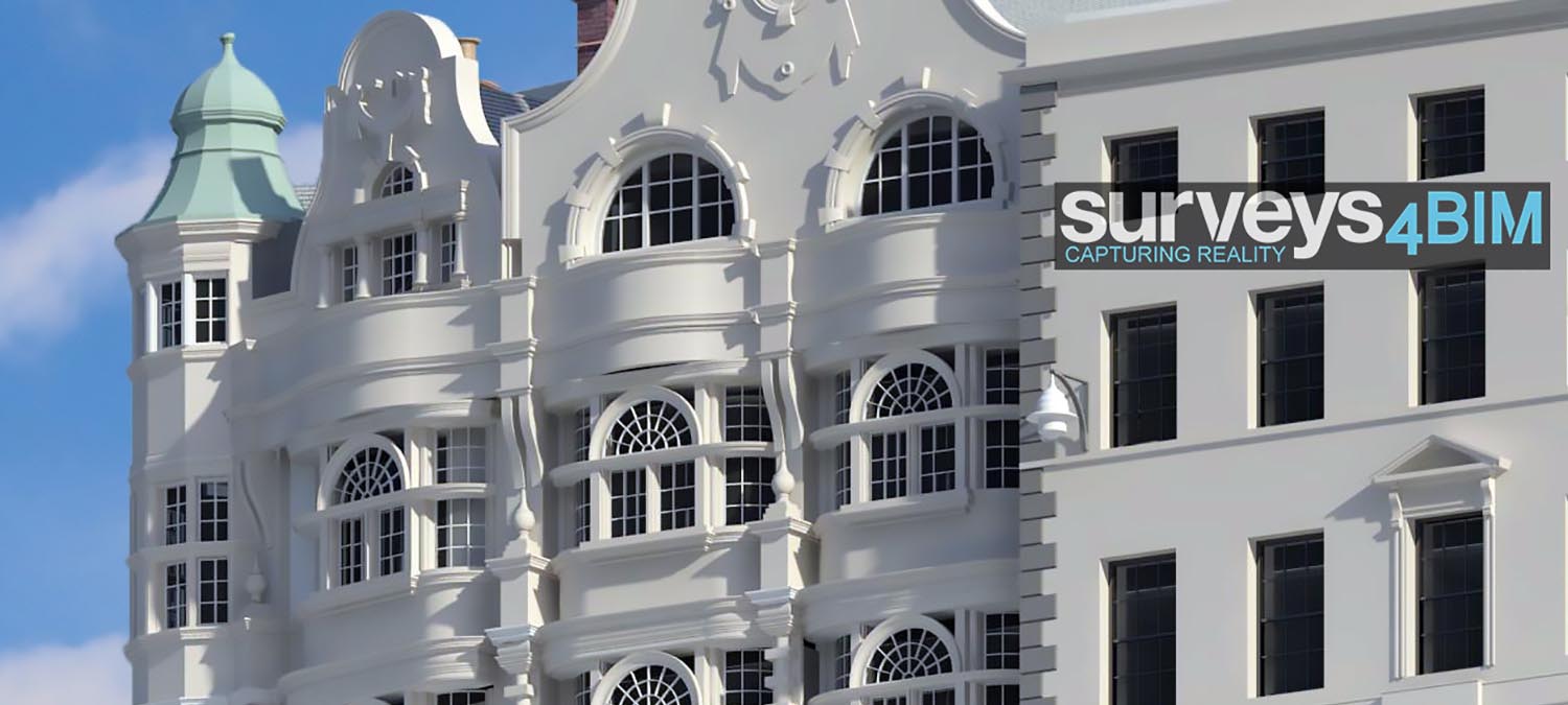
Please also view our BIM specific website www.surveys4bim.co.uk


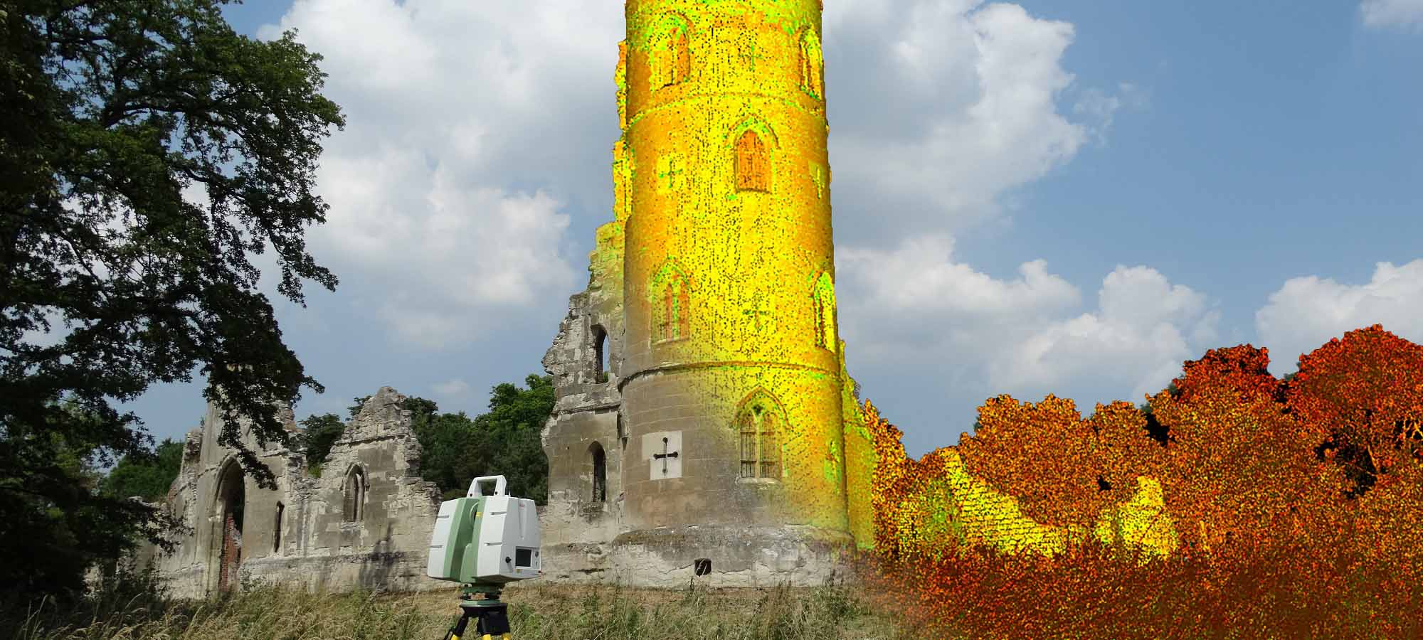
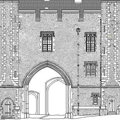
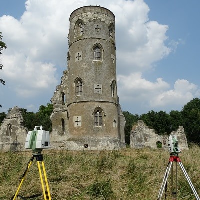
Protecting and recording the past so that we can pass on our heritage to future generations to enjoy.
MK Surveys understands the importance of heritage recording and minimising the risk of damage to historic sites. Using the latest in remote sensing technology such as laser scanning and photogrammetry, MK Surveys are able to capture heritage buildings, monuments and sites in great detail, delivering accurate measured surveys of the highest order, completely unobtrusively.
All data captured on site is archived for historic records and can be manipulated to create the following deliverables; 2D CAD drawings, 3D models, orthophotos, rectified imagery, textured meshes, panoramic imagery or even simply RAW laser scan data.


 mail@mksurveys.co.uk