
 mail@mksurveys.co.uk
 01908 565561
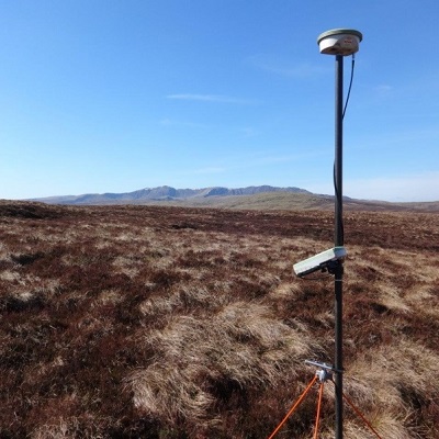
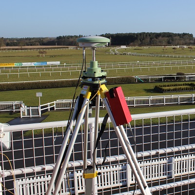
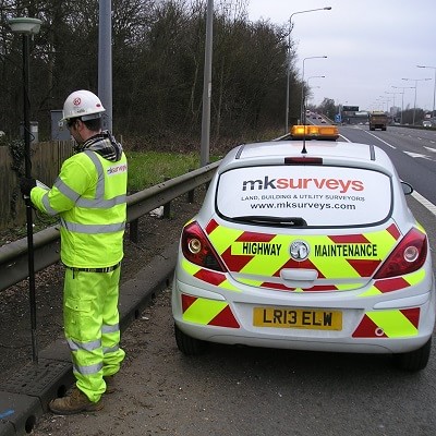
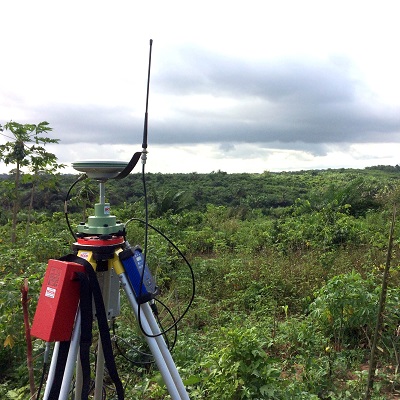
Large scale control networks using the latest Leica GNSS (Global Navigation Satellite System) survey equipment. Control networks linked to the Ordnance Survey National GPS Network or existing site grids.
We use the latest GNSS technology when establishing a control network on site which can include:
A primary control traverse with 3 dimensional survey control stations located both inside and outside of a site boundary.
Re-establishing existing control where available, their positions to be located using information previously provided.
Environment Agency Control Station (EACS) - Grades E1 to E6.


 mail@mksurveys.co.uk